


Ngarluma Ngurra: Aboriginal Culture on the Map
‘I want to leave this story on tape for the next generation, so that they know the story of this place,’ Reg Sambo, Ngarluma elder
Ngarluma Ngurra: Aboriginal Culture on the map was an exploration of the intersection between Indigenous culture and 21st century cartography completed with FORM. The project was a recipient of the Google Earth Outreach grants program, which rewards organizations with o mapping ideas to support the technical development of maps. The map was conceptualized and developed by Ngarluma Anthropologist Andrew Dowding and Sharmila as a result of experience working and living with Aboriginal communities in the Pilbara. The map was launched as part of an exhibition forming an interactive installation alongside objects of material culture and paintings, evoking an immersive experience in Ngarluma culture.
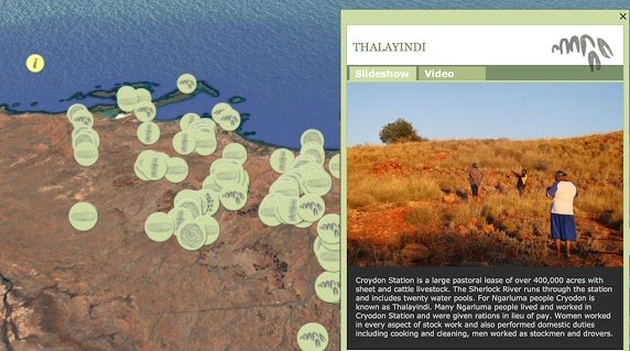
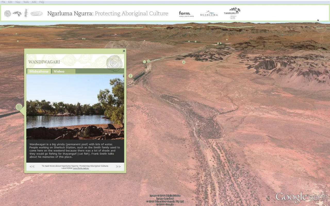
Ngarluma are the Indigenous people of the coastal areas around Roebourne (West Pilbara, Western Australia); their land encompasses the interior hills and tablelands to the east and sweeps across the river systems and the coastline to the west, which includes the Burrup Peninsula and Dampier Archipelago. Ngarluma country is neighboured by Kariyarra, Yindjibarndi, Kuruma and Mardhuhunera. Digital mapping as applied in the Ngarluma Ngurra project provides an opportunity for Aboriginal people to capture on film and through other forms of documentation their understanding, memories and knowledge of place.
In building the map, Andrew, Sharmila and vidoegrapher travelled with Ngarluma elders to sites on Country and places to which they were connected and wanted to be filmed and photographed.